Representing moment magnitude and orientation
To represent the moment magnitude of an earthquake, it is common to vary the radius of the focal mechanism beach ball. This may be done interactively in Google Earth by dragging model edges in edit mode, but is more accurately achieved in KML using the <Scale> tags as shown in Table 4.
Table 4: Use of Scale Tag to Represent Earthquake Moment Magnitude
<?xml version='1.0' encoding='UTF-8'?>
<kml xmlns='http://earth.google.com/kml/2.1'>
<Location>
...
...
</Location>
<Scale>
<x>6.7</x>
<y>6.7</y>
<z>6.7</z>
</Scale>
<Link>
...
...
</Link>
</kml>
In the case illustrated, the x, y, and z scaling factors are set to 6.7 to represent an M = 6.7 earthquake. The orientation of the beach ball is critical for interpreting the tectonics setting of the earthquake. USGS NEIC data is reported using three Euler-type angles labeled strike, dip, and slip for each nodal plane. These angles are translated into KML tags <heading>, <roll>, and <tilt> using the system in Table 5.
Table 5: USGS NEIC Stike/Dip/Slip Data and KML Orientation Tags
<heading> strike </heading>
<roll> dip – 90° </roll>
<tilt> slip </tilt>
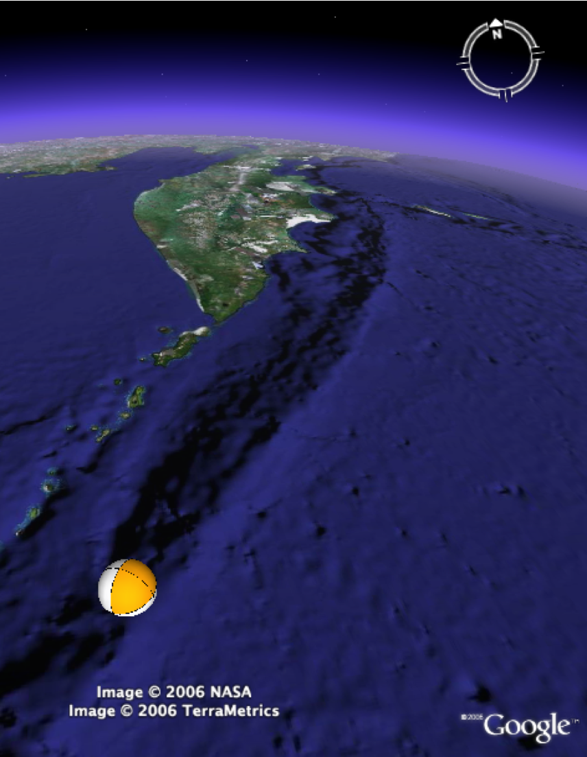
Figure 8a. 2006 Kurile earthquake

Setting beach ball model orientation. This example shows the 2006 Kurile earthquake without any surface bump-out (altitude = 0). Note that this may be confidently interpreted as a northwest dipping (subduction-zone-parallel) low angle thrust as the depth is too great for a high angle sedimentary slump in the overriding plate.
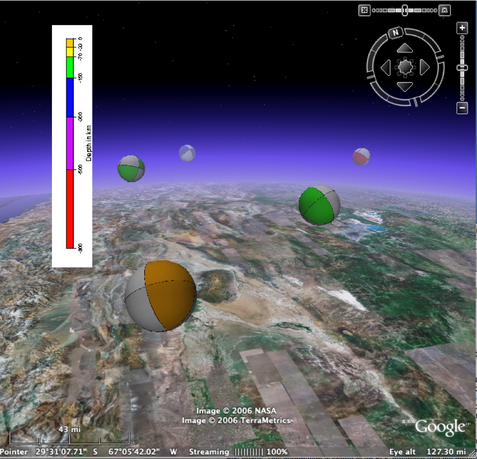
Figure 8b. Andean data

Setting beach ball model orientation. Historic data from the Argentinian Andes (source USGS NEIC).