- Home
- Journal
- 2017 -- 50, 51
- 2016 -- 49, 50
- 2015 -- 48
- 2014 -- 46, 47
- 2013 -- 44, 45
- 2012 -- 40, 41, 42, 43
- 2011 -- 37, 38, 39
- 2010 -- 35, 36
- 2009 -- 31, 32, 33, 34
- 2008 -- 28, 29, 30
- 2007 -- 25, 26, 27
- 2006 -- 21, 22, 23, 24
- 2005 -- 18, 19, 20
- 2004 -- 14, 15, 16, 17
- 2003 -- 10, 11, 12, 13
- 2002 -- 6, 7, 8, 9
- 2001 -- 3, 4, 5
- 2000 -- 1, 2
- Editorial Board
- Policies
2009 Issues
Edited by:
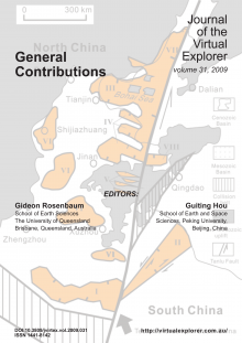
General Contributions in 2009 included a discussion of the destruction of the North China Craton, and mineralogical evidence for magma mingling in the Plio-Quaternary volcanic rocks (Central Iran).
Edited by:
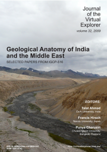
These papers arose from IGCP 516, a meeting held at Delhi University, in October 2007. The papers in this volume are works focussed on the geological evolution of India and the Middle East. Other volumes cover East and Southeast Asia.
Edited by:
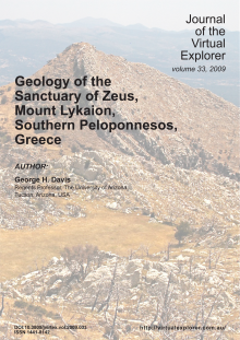
Detailed structural geological mapping of bedrock and structures within the Sanctuary of Zeus on Mt. Lykaion in the Peloponessos (Greece) reveals intimate ties between the archaeological and geological elements at the site. The physiographic setting of this Pan Hellenic mountaintop sanctuary is dramatic visually. The upper part of the sanctuary is situated on top of a high dome-like summit (~1400 m) known as Agios Elias (St. Elijah). Archaeological elements comprising the lower part of the sanctuary are distributed on a broad rolling surface at the base of Agios Elias on its north and west. The east margin of the upper sanctuary is a precipitous landslide-strewn escarpment actively being shaped by normal faulting related to regional extension. Active normal faults criss-cross the very summit of the sanctuary. The abrupt change in geomorphology from the lower to upper sanctuary areas coincides with the trace of a 10°-easterly dipping thrust fault (the Lykaion thrust fault), which was active in the early Tertiary and accommodated kilometers of east-to-west tectonic transport. The bedrock of Mt. Lykaion comprises five rock formations of the Pindos Group, and each has a very distinctive stratigraphic and landscape signature. The oldest sediments of the Pindos Group were deposited in a deep narrow part of the Neotethyan ocean.
Edited by:
This field guide resulted from the Ophiolites 2008 conference. Key ophiolitic localities in Greece have aided formulation of primary models of plate tectonic theory, for example as exposed along the Aliakmon River below Zavordas Monastery, described as the best exposure of the base of an ophiolite in the world. The Aliakmon exposures have been used to document the initial description of the structural nature and zoned metamorphism of an ophiolitic sole. Unfortunately, much of this historic section will soon be inundated with the construction of a hydroelectric dam. This final study documents this river section, which records the rifting of Pelagonia, early formation of Tethys, and the emplacement of the Vourinos ophiolite.
The west Pelagonian margin preserves a continuous section from the Pelagonian core complex gneiss-migmatites, through schistose metamorphics, and into slaty phyllites.
Other classic localities of the Pindos, Koziakas, and Vourinos ophiolites enable discrimination of structure within an obducting ophiolitic nappe: mantle layering and foliation, lower temperature ductile structures, ductile-brittle and brittle emplacement related deformation are demonstrated among our stops, as well as imprint of later Tertiary Alpine deformation. The entire lithospheric section is traversed by stops crossing the Vourinos ophiolite.


