Stop D.
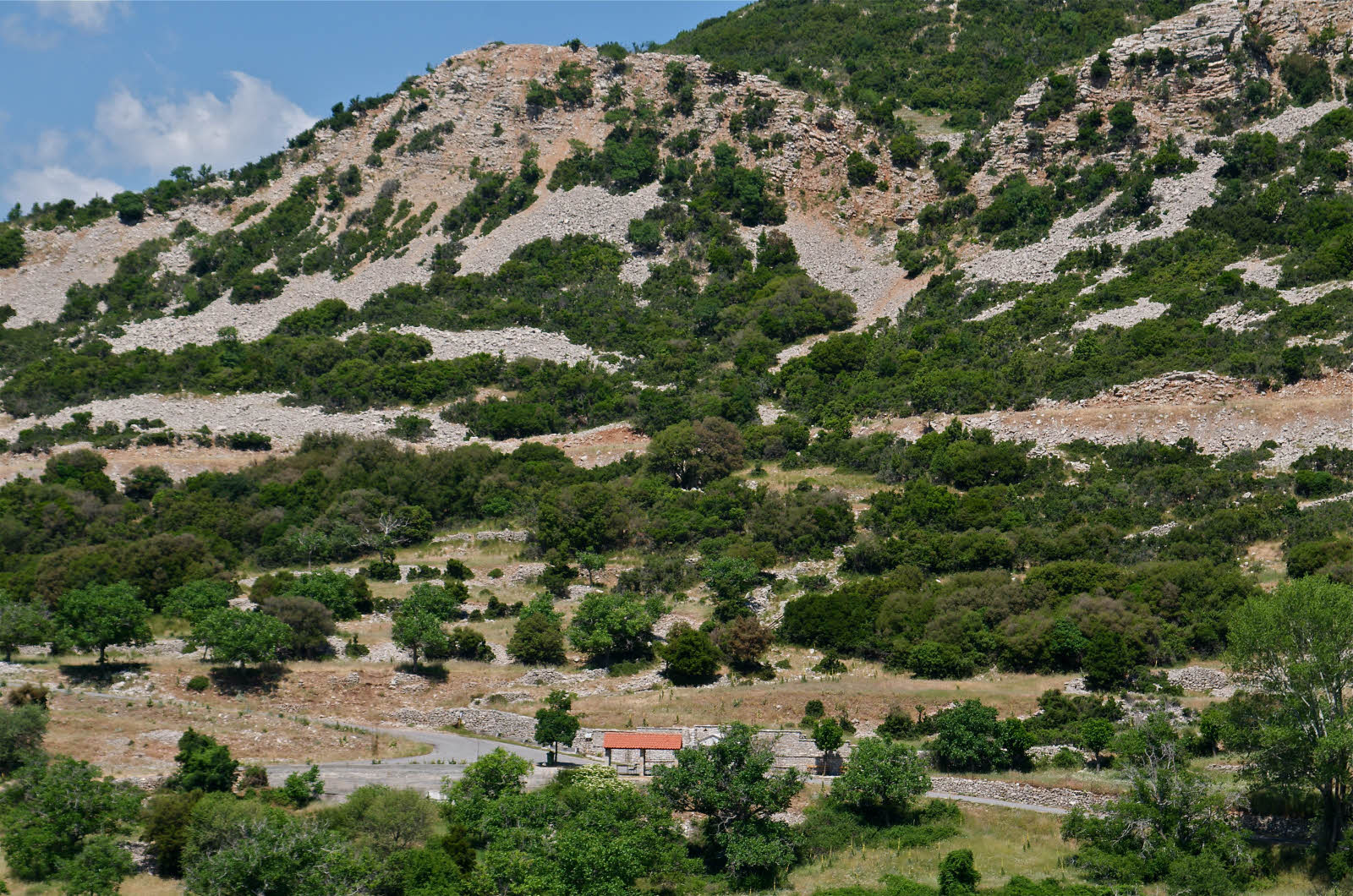
This is Krabova spring (Figure FT-13). Stopping here has become a daily routine for those of us engaged in the Mt. Lykaion Excavation and Survey Project (see Figures FT-1, 2). The water is delicious. It is a good place to fill up water bottles. There are numerous springs on the east flank of Mt. Lykaion. Many of them issue from the landslide colluvium, which seems to be able to retain a lot of water. The spring system on this part of the mountain is, of course, responsible for the place of settlement of Ano Karyes and the positioning of its orchards and fields.
Figure FT13. Krabova spring in background. [this is a place-holder].
![Krabova spring in background. [this is a place-holder].](media/figureft13.jpg)
South-southeast-directed view of Krabova spring, which is in the foreground (immediately south of built structure with red tile roof). Landslide complex in background is primarily composed of mass-wasted Thin Platy Limestone Beds.
Proceed up the mountain for ~2.7 km, where you will enter the lower sanctuary area. Ignore for now the sharp left turn, which (later) will take you up to Agios Elias, the second highest summit of Mt. Lykaion. Instead, continue straight ahead at the fork, drive down and onto the gray cinder track, which is the site where the modern Lykaion games are held. Park near the end of the track, at Stop E. The structural position you now occupy is one immediately below the Lykaion thrust fault in the uppermost part of the Pan thrust sheet. [Section I of companion paper is the “Introduction,” which conveys Pausanias’ early descriptions of the sanctuary; section II, “Purpose of the Paper,” gives information regarding the arrangement of the archaeological elements].